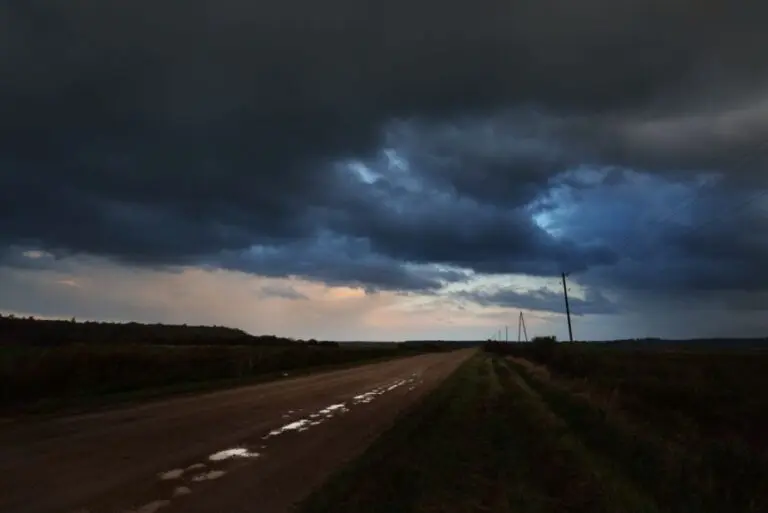
More wild weather is possible Tuesday around Southwest Michigan.
National Weather Service meteorologist Chris Roller tells us following Friday’s storms that did severe damage in Cass, St. Joseph, and Branch counties, people should be prepared.
“We do have that chance for severe weather and all of the threats would be on the table between wind and large hail as well as a tornado, and with that moisture there could even be some heavy rain that could lead to some flooding across the area,” Roller said.
Roller says everyone should take steps to ensure they’re informed.
“Have your NOAA radios on because it’s going to be after 7 p.m., most likely, that this threat would come in there. So if you’re going to go to sleep, make sure you have a way to receive warnings, be woken up if need be, that sort of thing.”
Roller says conditions moving into the area as soon Monday night could be the ingredients for a severe storm. He says the danger of severe weather tonight decreases the farther east you go, but those areas should still be prepared.